
How many of us have driven along Broadmead Road near Old Woking and wondered what the building in the middle of the field is? We took a look at the building earlier in the year whilst using our drones to help search for a missing dog.

The aerial view identified circles in the grass (crop marks) which suggest that there was a structure/earth works there at some point and it appeared to be a military building. This week we went there again with our cameras to create a 360° virtual tour of the building so you can look around for yourself. The building is a shell now and heavily graffitied however it gives us an idea of what the battery was like when it was operational.
The virtual tour is at https://gemini-images.co.uk/360/oldwoking
The building was a command bunker for the Old Woking Heavy Anti Aircraft Battery which was built in WW2. The anti aircraft defences were situated there as part of the Brooklands Gun Defended Area as Brooklands was used to build the Vickers Wellington bombers for the RAF. In 1942 the battery was equipped with 4 x 3.7″ mobile anti aircraft guns operated by the 109 Heavy Anti Aircraft regiment rather than Home Guard. The guns were not permanently emplaced and were on a wheeled chassis so they could be redeployed. There was no radar at the site. The Regiment later redeployed to France on D-Day as part of 30 Corps and fought to Germany.
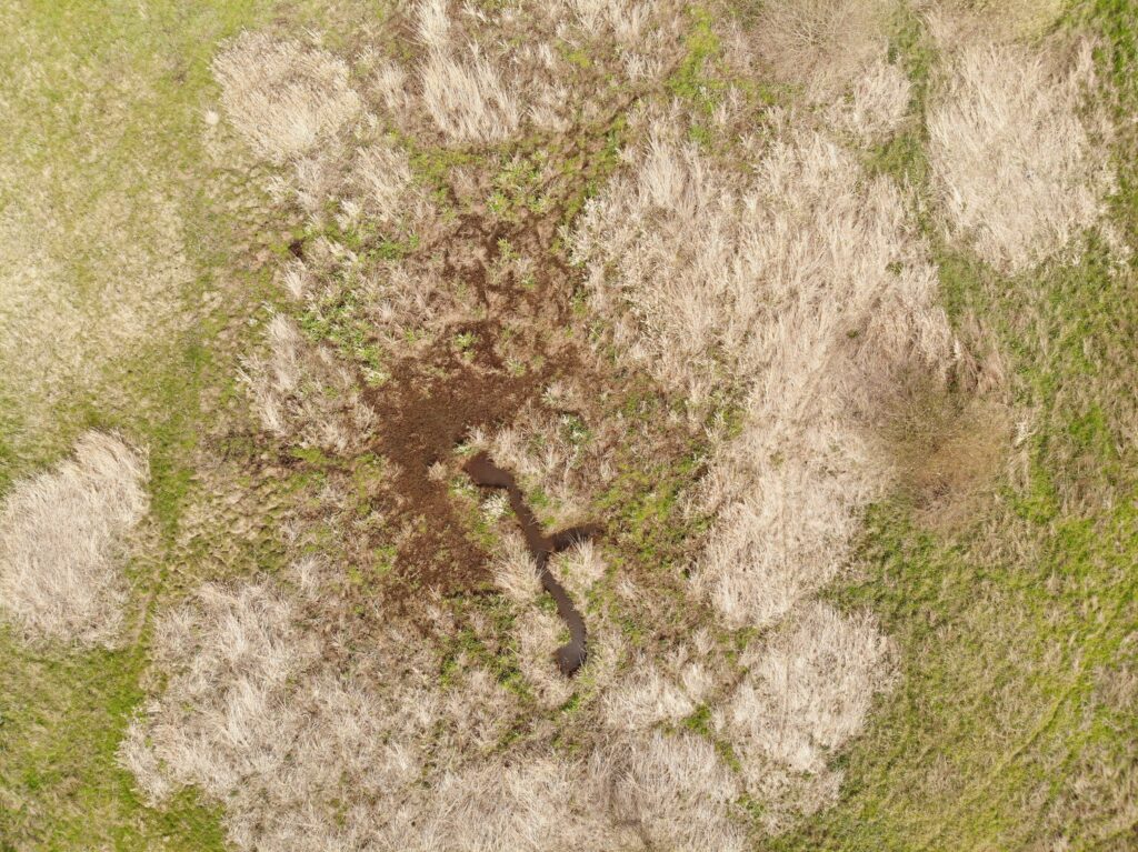
Drones give us an ability to see areas from above and we can often see features that are not visible at ground level such as were the gun emplacements were.
Gemini Images can assist you with your archaeological research and projects. We can use our drones to search areas for features, photograph the area to create orthomosaic maps and generate 3D models using photogrammetry as well as ground and 360° photography to assist with recording a site.